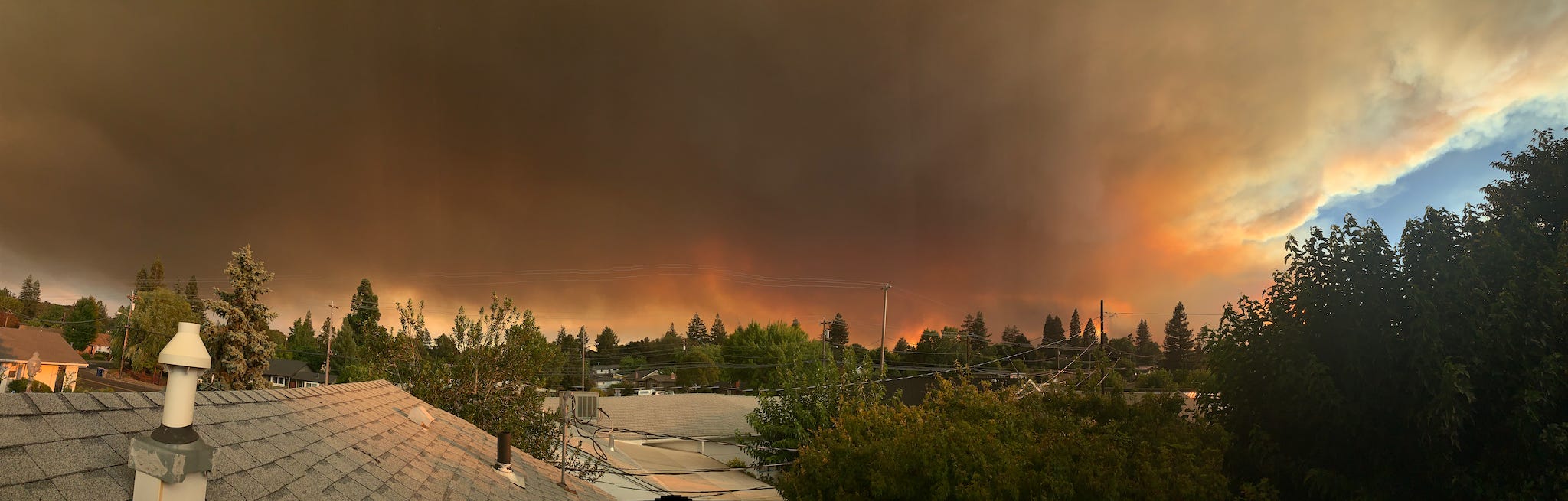
And so it begins again
And so it begins again
Earlier & earlier every year, it seems.

Fire season is back, nearly two months “early” (whatever that means).
Of all the resources I’ve found helpful, Twitter is by leaps and bounds the best owing to its real-time nature. (I strongly prefer Tweetdeck as a desktop client for its multi-column support, especially when following fast-moving events such as these.)
The key is finding the right hashtag(s) to follow for the fire(s) in question: even the official agencies will latch onto these eventually but during the early hours of any event the organization will be chaotic.
Key accounts:
Other resources:
Both aggregate critical information from various sources & are highly recommended
MappingSupport.com (GIS maps with NIROPS data overlaid)
Primary source, up-to-date logistical & tactical info, extremely useful
Please see this post for further information
National Fire Situational Awareness map (centered on Walbridge area)
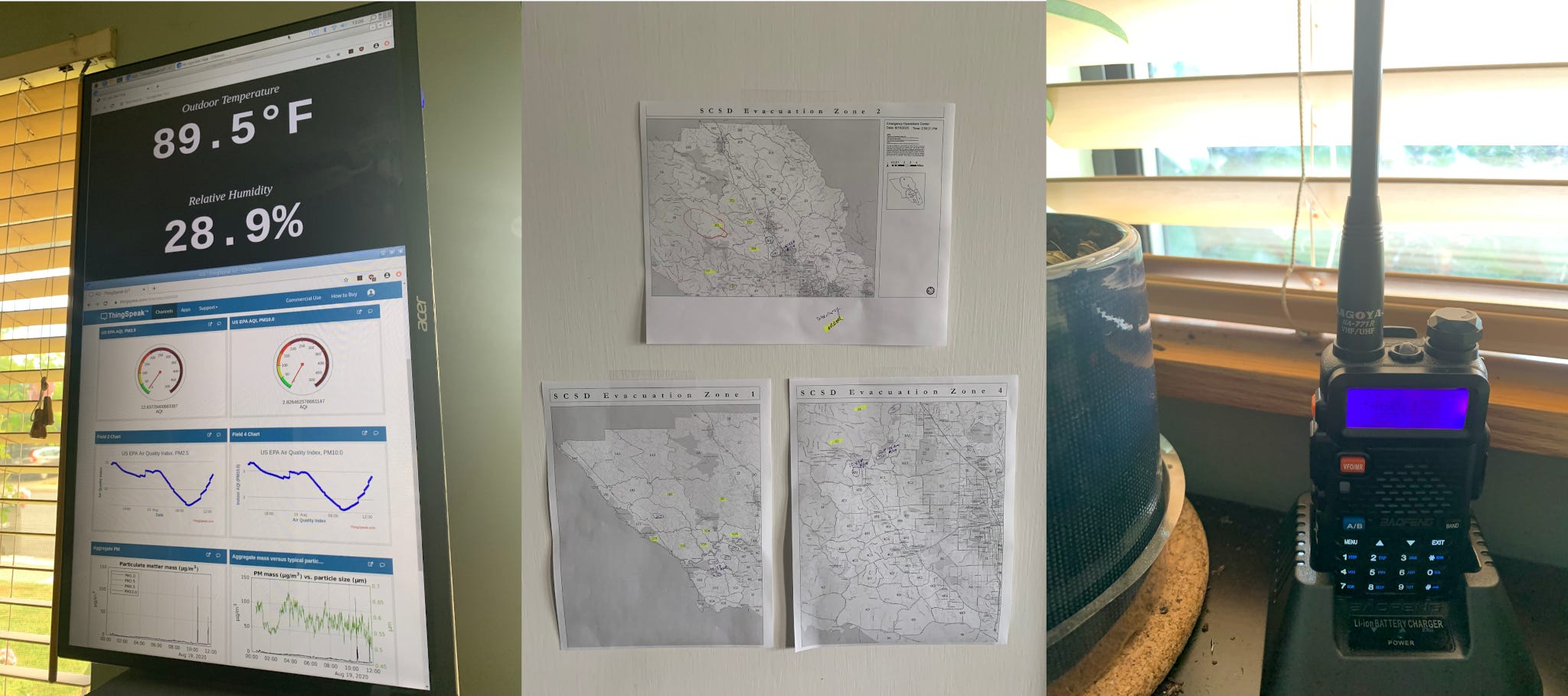
SCSD Evacuation Maps (PDFs):
Berkeley Fire Research Lab Wildfire Resources (some overlap)
FlightRadar24 (for tracking air resources)
“Go Bag” contents reference from SFPD NERT
I will do my best to keep this post up-to-date throughout the fire season.